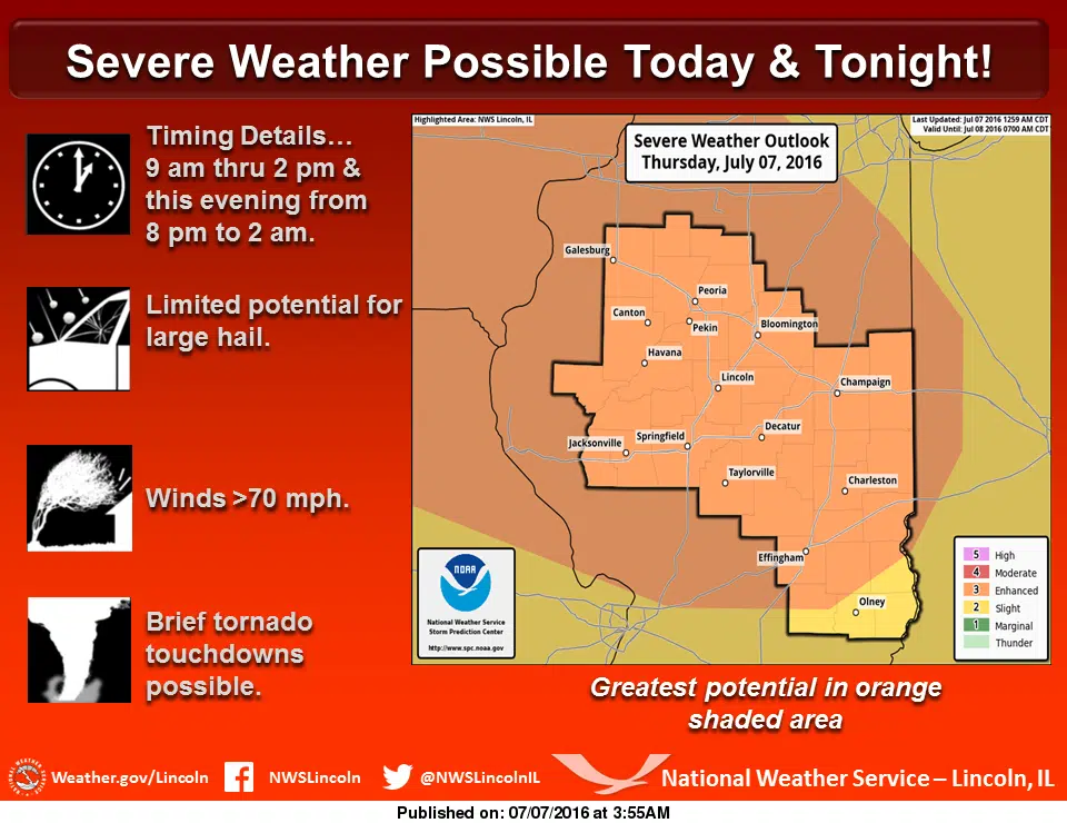
From the National Weather in Lincoln, a rather active severe weather pattern expected across our area through tonight with several rounds of strong to severe thunderstorms. The first wave of storms is expected from mid-morning into early afternoon with damaging winds the primary threat. As a rather strong storm system for early July approaches our area, another threat for severe thunderstorms will push into central Illinois producing the threat for wind damage. If the storms this morning become well organized, they may have an effect on the redevelopment of storms this evening and overnight. Very warm and humid weather will prevail to fuel these storms with afternoon temperatures of 85 to 90 and heat index values approaching 100 degrees in a few locations. Quieter weather returns to the area starting tomorrow with pleasant weather conditions expected for the weekend.